

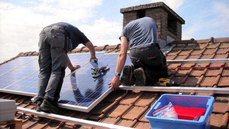
The Government of Jersey has launched an interactive Rooftop Solar Panel Suitability Map, enabling Islanders to check whether their property may be suitable for solar panels.
Originally developed as an internal resource to assess the photovoltaic (PV) potential of States owned properties, the map was created by Jersey Property Holdings under the remit of the Minister for Infrastructure. It is now being made available to the public as an information tool to raise awareness and help Islanders consider whether investing in solar PV could be a viable option.
Infrastructure & Environment is working with Jersey Electricity to explore opportunities for Islanders to generate their own renewable energy. While the Government is also close to agreeing a Framework Agreement for solar PV installations on Government owned properties, which will help accelerate the adoption of renewable energy across the public estate.
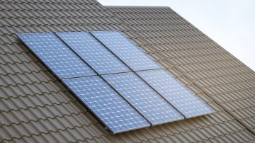
The map uses the Government’s 3D Digital Surface Model (DSM), which captures ground elevation and the shape and height of buildings, trees, and other features. By simulating the sun’s movement throughout the year, the model estimates annual solar radiation for each rooftop, accounting for shading from nearby objects.
Ralph Buchholz, Head of Corporate Property Strategy at the Government of Jersey, explained: “Using advanced 3D modelling, we’ve been able to analyse rooftops across the Island to determine which buildings are most suitable for solar PV installations.”


