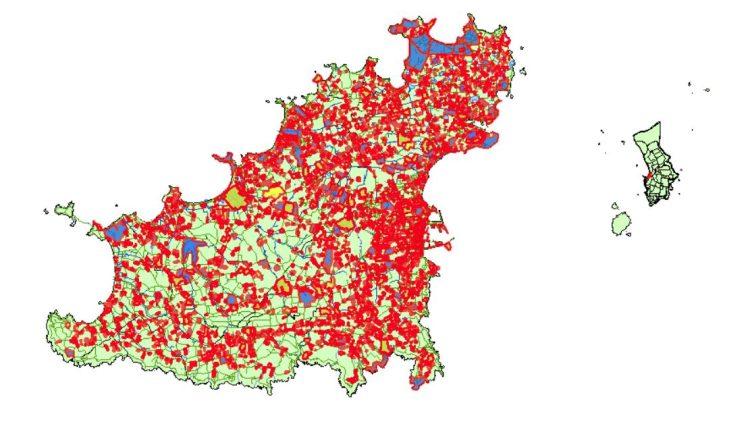
The Webmap feature of Guernsey’s Planning Application Register has been reinstated providing a new and more secure platform for people to view planning applications online.
This feature was previously removed following an identified security issue with the underlying software. However, following extensive work, the new system is now available for use.
Jim Rowles, Director of Planning, said: “Although it has taken longer than we would’ve originally hoped to get this system back up and running, ensuring the security of this platform was our number one priority.
“The Webmap is a really useful tool for viewing planning applications online and helps people to engage with the planning process, ensuring that the comments we receive accurately reflect islanders’ views.
“Now that this is working again, I’d like to thank people for their patience whilst we carried out this work.”
Deputy Victoria Oliver, President of the Development & Planning Authority, said “Our Committee has been very keen to see the Webmap reinstated. It’s an important tool to help ensure planning applications are accessible and members of the community can know what’s happening around them and exercise their right to make representations. The more we can do to make information easily available the better, and the Webmap is a key part of that.”
The Webmap feature is available here.


